• Donate
  • Contact
  • Facebook
  • Instagram
  • YouTube
menu
  • Visit A Preserve
  • Who We Are
    • Our Mission
    • Board & Staff
    • Collaboration
    • Financials
    • Library
  • Get Involved
    • Trail Steward
    • Salmon Docent
    • Stewardship Work Parties
    • K-12 Outdoor Programs
  • Ways To Give
    • Cash
    • Stocks, Donor Advised Funds, IRAs
    • Bequests, Estate Plans & Wills
    • Gifts of Land
    • Other Ways to Give
    • Become a Business Partner
  • Conserved Lands
    • Conservation Map
    • Conserving Key Habitats
    • Conservation Areas
      • Budd & Henderson Inlets
        • Bayfield Resource Co. Forest Conservation Easement
        • Bayfield Resource Co. Gull Harbor Conservation Easement
        • Brown Preserve
        • Cushman Conservation Easement
        • Hale Preserve
        • Harmony Farm Preserve
        • Howe Conservation Easement
        • Lonseth Preserve
        • Scheidt-Mayer Conservation Easement
        • Stephens Preserve
        • Woodland Creek
      • Black River / Chehalis Watershed
        • Aldridge Conservation Easement
        • Baretich Conservation Easement
        • Bergquist Conservation Easement
        • Black River Conservation Easement and Preserve
        • Darlin Creek Preserve
        • Davis Conservation Easement
        • Decker Creek Wetland Complex
        • DeFelice Preserve
        • Edwards Conservation Easement
        • Gordon Farm Conservation Easement
        • Heertje Conservation Easement
        • Holm-Rader Farm Conservation Easement
        • Leitner Prairie Conservation Easements
        • Tilley Wetlands Preserve
        • West Rocky Prairie
      • Cowlitz Watershed
        • Cowlitz River Preserve
      • Deschutes Watershed
        • Anderson Preserve
        • Bentley Conservation Easement
        • Bush Prairie Farm Conservation Easement
        • Parsons Family Farm Conservation Easement
        • Shermer-Deschutes Preserve
        • Springer Lake Preserve
        • Spurgeon Valley Preserve
        • Stewart Conservation Easement
        • Stewart-Deschutes Preserve
        • Yale Preserve
      • Green Cove Creek Wetlands
        • Harper Conservation Easement
        • Kaiser Preserve
        • LOTT Alliance Conservation Easement
        • Ekar-Overhulse Preserve
        • Paul-Leigh Conservation Easement
        • SPSCC Foundation Property
        • YWCA
      • Hood Canal
        • Brothers Beach Conservation Easement
      • Oakland Bay & Goldsborough Creek Watershed
        • Bayshore Preserve
        • Granquist Preserve
        • Hilburn Preserve
        • North Fork Goldsborough Creek Preserve
        • Oakland Bay Historical Park Conservation Easement
        • Olli Conservation Easement
        • Pannell Preserve
        • Rose Preserve
        • North Fork Goldsborough Creek Preserve – Rose Addition
        • Sunset Bluffs
        • Twin Rivers Ranch Preserve
      • Steamboat Conservation Partnership Region
        • Adams Cove Preserve
        • Appleby Conservation Easement
        • Davidson-Bergman Conservation Easement
        • Lower Eld Preserve
        • McIntyre Conservation Easement
        • McLane Point Preserve/Conservation Easement
        • Randall Preserve / Allison Springs
        • Schmidt Conservation Easements
        • Triple Creek Farm Conservation Easement
        • Willits Conservation Easement
        • Willits Tree Farm Conservation Easement
        • Wynne Tree Farm Conservation Easements
    • Inspiring Kids Preserve
    • Conserve Your Land
    • Managing Our Preserves
  • News
  • Events
  • Donate
  • Contact
  • Visit A Preserve
  • Who We Are
    • Our Mission
    • Board & Staff
    • Collaboration
    • Financials
    • Library
  • Get Involved
    • Trail Steward
    • Salmon Docent
    • Stewardship Work Parties
    • K-12 Outdoor Programs
  • Ways To Give
    • Cash
    • Stocks, Donor Advised Funds, IRAs
    • Bequests, Estate Plans & Wills
    • Gifts of Land
    • Other Ways to Give
    • Become a Business Partner
  • Conserved Lands
    • Conservation Map
    • Conserving Key Habitats
    • Conservation Areas
      • Budd & Henderson Inlets
        • Bayfield Resource Co. Forest Conservation Easement
        • Bayfield Resource Co. Gull Harbor Conservation Easement
        • Brown Preserve
        • Cushman Conservation Easement
        • Hale Preserve
        • Harmony Farm Preserve
        • Howe Conservation Easement
        • Lonseth Preserve
        • Scheidt-Mayer Conservation Easement
        • Stephens Preserve
        • Woodland Creek
      • Black River / Chehalis Watershed
        • Aldridge Conservation Easement
        • Baretich Conservation Easement
        • Bergquist Conservation Easement
        • Black River Conservation Easement and Preserve
        • Darlin Creek Preserve
        • Davis Conservation Easement
        • Decker Creek Wetland Complex
        • DeFelice Preserve
        • Edwards Conservation Easement
        • Gordon Farm Conservation Easement
        • Heertje Conservation Easement
        • Holm-Rader Farm Conservation Easement
        • Leitner Prairie Conservation Easements
        • Tilley Wetlands Preserve
        • West Rocky Prairie
      • Cowlitz Watershed
        • Cowlitz River Preserve
      • Deschutes Watershed
        • Anderson Preserve
        • Bentley Conservation Easement
        • Bush Prairie Farm Conservation Easement
        • Parsons Family Farm Conservation Easement
        • Shermer-Deschutes Preserve
        • Springer Lake Preserve
        • Spurgeon Valley Preserve
        • Stewart Conservation Easement
        • Stewart-Deschutes Preserve
        • Yale Preserve
      • Green Cove Creek Wetlands
        • Harper Conservation Easement
        • Kaiser Preserve
        • LOTT Alliance Conservation Easement
        • Ekar-Overhulse Preserve
        • Paul-Leigh Conservation Easement
        • SPSCC Foundation Property
        • YWCA
      • Hood Canal
        • Brothers Beach Conservation Easement
      • Oakland Bay & Goldsborough Creek Watershed
        • Bayshore Preserve
        • Granquist Preserve
        • Hilburn Preserve
        • North Fork Goldsborough Creek Preserve
        • Oakland Bay Historical Park Conservation Easement
        • Olli Conservation Easement
        • Pannell Preserve
        • Rose Preserve
        • North Fork Goldsborough Creek Preserve – Rose Addition
        • Sunset Bluffs
        • Twin Rivers Ranch Preserve
      • Steamboat Conservation Partnership Region
        • Adams Cove Preserve
        • Appleby Conservation Easement
        • Davidson-Bergman Conservation Easement
        • Lower Eld Preserve
        • McIntyre Conservation Easement
        • McLane Point Preserve/Conservation Easement
        • Randall Preserve / Allison Springs
        • Schmidt Conservation Easements
        • Triple Creek Farm Conservation Easement
        • Willits Conservation Easement
        • Willits Tree Farm Conservation Easement
        • Wynne Tree Farm Conservation Easements
    • Inspiring Kids Preserve
    • Conserve Your Land
    • Managing Our Preserves
  • News
  • Events

Black River Prairies and Farms Bike Ride

CameraHolm Farm, Bonnie Liberty

  • ShareShare this post on Facebook
  • Share this post on FacebookTweet
Land Trust Accreditation Commission
Donate Today

Learn More About Us

  • Conserved Lands
  • Conservation Map
  • Conserving Key Habitats
  • Conservation Areas
  • Conserve Your Land
  • Visit A Preserve
  • Inspiring Kids Preserve
  • Managing Our Preserves

Saturday, June 10, 2017

Grab your bike shorts, your bike, and head out to the Black River watershed for a 9 mile or 26 mile bike ride past prairies and working farms!

Saturday, June 10
10 AM
South Thurston County

We are offering two bike routes, a 9 mile loop and a 26 mile ride. Both rides will begin at Little Rock Saloon. Riders will travel north up Endicott Rd SW and loop west to Mima Mounds Natural Preserve Area on Waddell Creek Rd SW. There is a hill at the beginning and returns to mostly flat ground after that. There will be a bathroom stop and snack/water station available at Mima Mounds Natural Preserve Area about 7 miles into the ride. Riders have the option of exploring Mima Mounds Natural Preserve Area. From there, riders can head back to Little Rock Saloon or continue heading south on Mima Road SW for an additional 17 miles of scenery past Capitol Land Trust properties and Glacial Heritage Preserve.

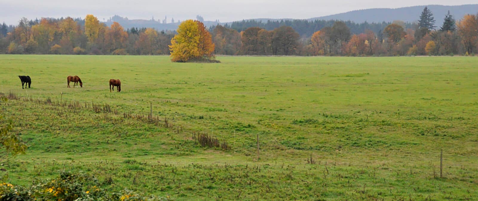
2017 Black River Prairies & Farm Bike Tour Route

**Black indicates the starting location, orange indicates rest stop, and green indicates CLT conservation property


Questions? Contact Alison, Events Coordinator at [email protected] or 360.943.3012

  • Facebook
  • Instragram
  • Youtube

  • PO Box 14065
  • Tumwater, WA 98511
  • Telephone: (360) 943-3012
  • Email:

  • Who We Are
  • Our Mission
  • Board & Staff
  • Collaboration
  • Financials
  • Library
  • Careers
  • Get Involved
  • Trail Steward
  • Stewardship Work Parties
  • Salmon Docent
  • K-12 Outdoor Programs
  • Ways To Give
  • Cash
  • Other Ways to Give
  • Become a Business Partner
  • Gifts of Land
  • Bequests, Estate Plans & Wills
  • Stocks, Donor Advised Funds, IRAs
  • Conserved Lands
  • Conservation Map
  • Conserving Key Habitats
  • Conservation Areas
  • Conserve Your Land
  • Visit A Preserve
  • Inspiring Kids Preserve
  • Managing Our Preserves
  • Donate
  • Contact
  • Events
  • News

Copyright © Capitol Land Trust All Rights Reserved. | Made by SlowClouds