• Donate
  • Contact
  • Facebook
  • Instagram
  • YouTube
menu
  • Visit A Preserve
  • Who We Are
    • Our Mission
    • Board & Staff
    • Collaboration
    • Financials
    • Library
  • Get Involved
    • Trail Steward
    • Salmon Docent
    • Stewardship Work Parties
    • K-12 Outdoor Programs
  • Ways To Give
    • Cash
    • Stocks, Donor Advised Funds, IRAs
    • Bequests, Estate Plans & Wills
    • Gifts of Land
    • Other Ways to Give
    • Become a Business Partner
  • Conserved Lands
    • Conservation Map
    • Conserving Key Habitats
    • Conservation Areas
      • Budd & Henderson Inlets
        • Bayfield Resource Co. Forest Conservation Easement
        • Bayfield Resource Co. Gull Harbor Conservation Easement
        • Brown Preserve
        • Cushman Conservation Easement
        • Hale Preserve
        • Harmony Farm Preserve
        • Howe Conservation Easement
        • Lonseth Preserve
        • Scheidt-Mayer Conservation Easement
        • Stephens Preserve
        • Woodland Creek
      • Black River / Chehalis Watershed
        • Aldridge Conservation Easement
        • Baretich Conservation Easement
        • Bergquist Conservation Easement
        • Black River Conservation Easement and Preserve
        • Darlin Creek Preserve
        • Davis Conservation Easement
        • Decker Creek Wetland Complex
        • DeFelice Preserve
        • Edwards Conservation Easement
        • Gordon Farm Conservation Easement
        • Heertje Conservation Easement
        • Holm-Rader Farm Conservation Easement
        • Leitner Prairie Conservation Easements
        • Tilley Wetlands Preserve
        • West Rocky Prairie
      • Cowlitz Watershed
        • Cowlitz River Preserve
      • Deschutes Watershed
        • Anderson Preserve
        • Bentley Conservation Easement
        • Bush Prairie Farm Conservation Easement
        • Parsons Family Farm Conservation Easement
        • Shermer-Deschutes Preserve
        • Springer Lake Preserve
        • Spurgeon Valley Preserve
        • Stewart Conservation Easement
        • Stewart-Deschutes Preserve
        • Yale Preserve
      • Green Cove Creek Wetlands
        • Harper Conservation Easement
        • Kaiser Preserve
        • LOTT Alliance Conservation Easement
        • Ekar-Overhulse Preserve
        • Paul-Leigh Conservation Easement
        • SPSCC Foundation Property
        • YWCA
      • Hood Canal
        • Brothers Beach Conservation Easement
      • Oakland Bay & Goldsborough Creek Watershed
        • Bayshore Preserve
        • Granquist Preserve
        • Hilburn Preserve
        • North Fork Goldsborough Creek Preserve
        • Oakland Bay Historical Park Conservation Easement
        • Olli Conservation Easement
        • Pannell Preserve
        • Rose Preserve
        • North Fork Goldsborough Creek Preserve – Rose Addition
        • Sunset Bluffs
        • Twin Rivers Ranch Preserve
      • Steamboat Conservation Partnership Region
        • Adams Cove Preserve
        • Appleby Conservation Easement
        • Davidson-Bergman Conservation Easement
        • Lower Eld Preserve
        • McIntyre Conservation Easement
        • McLane Point Preserve/Conservation Easement
        • Randall Preserve / Allison Springs
        • Schmidt Conservation Easements
        • Triple Creek Farm Conservation Easement
        • Willits Conservation Easement
        • Willits Tree Farm Conservation Easement
        • Wynne Tree Farm Conservation Easements
    • Inspiring Kids Preserve
    • Conserve Your Land
    • Managing Our Preserves
  • News
  • Events
  • Donate
  • Contact
  • Visit A Preserve
  • Who We Are
    • Our Mission
    • Board & Staff
    • Collaboration
    • Financials
    • Library
  • Get Involved
    • Trail Steward
    • Salmon Docent
    • Stewardship Work Parties
    • K-12 Outdoor Programs
  • Ways To Give
    • Cash
    • Stocks, Donor Advised Funds, IRAs
    • Bequests, Estate Plans & Wills
    • Gifts of Land
    • Other Ways to Give
    • Become a Business Partner
  • Conserved Lands
    • Conservation Map
    • Conserving Key Habitats
    • Conservation Areas
      • Budd & Henderson Inlets
        • Bayfield Resource Co. Forest Conservation Easement
        • Bayfield Resource Co. Gull Harbor Conservation Easement
        • Brown Preserve
        • Cushman Conservation Easement
        • Hale Preserve
        • Harmony Farm Preserve
        • Howe Conservation Easement
        • Lonseth Preserve
        • Scheidt-Mayer Conservation Easement
        • Stephens Preserve
        • Woodland Creek
      • Black River / Chehalis Watershed
        • Aldridge Conservation Easement
        • Baretich Conservation Easement
        • Bergquist Conservation Easement
        • Black River Conservation Easement and Preserve
        • Darlin Creek Preserve
        • Davis Conservation Easement
        • Decker Creek Wetland Complex
        • DeFelice Preserve
        • Edwards Conservation Easement
        • Gordon Farm Conservation Easement
        • Heertje Conservation Easement
        • Holm-Rader Farm Conservation Easement
        • Leitner Prairie Conservation Easements
        • Tilley Wetlands Preserve
        • West Rocky Prairie
      • Cowlitz Watershed
        • Cowlitz River Preserve
      • Deschutes Watershed
        • Anderson Preserve
        • Bentley Conservation Easement
        • Bush Prairie Farm Conservation Easement
        • Parsons Family Farm Conservation Easement
        • Shermer-Deschutes Preserve
        • Springer Lake Preserve
        • Spurgeon Valley Preserve
        • Stewart Conservation Easement
        • Stewart-Deschutes Preserve
        • Yale Preserve
      • Green Cove Creek Wetlands
        • Harper Conservation Easement
        • Kaiser Preserve
        • LOTT Alliance Conservation Easement
        • Ekar-Overhulse Preserve
        • Paul-Leigh Conservation Easement
        • SPSCC Foundation Property
        • YWCA
      • Hood Canal
        • Brothers Beach Conservation Easement
      • Oakland Bay & Goldsborough Creek Watershed
        • Bayshore Preserve
        • Granquist Preserve
        • Hilburn Preserve
        • North Fork Goldsborough Creek Preserve
        • Oakland Bay Historical Park Conservation Easement
        • Olli Conservation Easement
        • Pannell Preserve
        • Rose Preserve
        • North Fork Goldsborough Creek Preserve – Rose Addition
        • Sunset Bluffs
        • Twin Rivers Ranch Preserve
      • Steamboat Conservation Partnership Region
        • Adams Cove Preserve
        • Appleby Conservation Easement
        • Davidson-Bergman Conservation Easement
        • Lower Eld Preserve
        • McIntyre Conservation Easement
        • McLane Point Preserve/Conservation Easement
        • Randall Preserve / Allison Springs
        • Schmidt Conservation Easements
        • Triple Creek Farm Conservation Easement
        • Willits Conservation Easement
        • Willits Tree Farm Conservation Easement
        • Wynne Tree Farm Conservation Easements
    • Inspiring Kids Preserve
    • Conserve Your Land
    • Managing Our Preserves
  • News
  • Events

News
July 8, 2022

Climate Change and Adaptation in Our Region

CameraSunny day over Darlin Creek Preserve, Mike Melton

  • ShareShare this post on Facebook
  • Share this post on FacebookTweet
Land Trust Accreditation Commission
Donate Today

Learn More About Us

  • Conserved Lands
  • Conservation Map
  • Conserving Key Habitats
  • Conservation Areas
  • Conserve Your Land
  • Visit A Preserve
  • Inspiring Kids Preserve
  • Managing Our Preserves

Here in the Pacific Northwest, we are used to weather of all kinds – the long weeks of blue sky and mild temperatures of summer; misty foggy cloudy days of spring and fall; the all-out raging rains and winds of wintertime; and the occasional extremely hot day, thunderstorm, or snowstorm.

This article will discuss how our region’s weather is morphing over time, what that will mean for people and nature, and how we can better prepare for these changes as a community.

Changes in our Weather

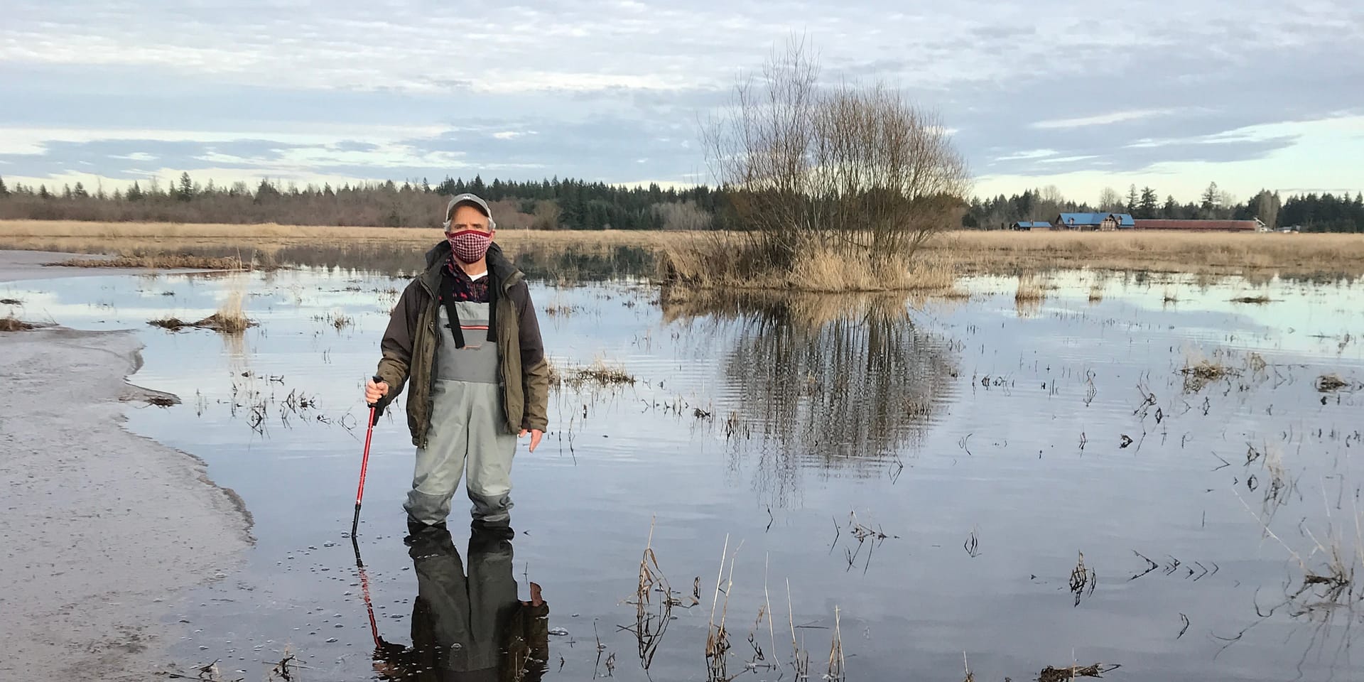
Knee-deep lake at Blooms Preserve, Tom Terry

Over the last two hundred years, the earth’s atmosphere has changed because of people and our activities. Driving, industry, and various land uses have resulted in our atmosphere accumulating small particles and gases which trap heat from the sun and over time warm our atmosphere and our oceans. This warming is causing measurable changes in our weather, though these changes vary from place to place.

The consequences for weather patterns here in the Pacific Northwest and South Puget Sound include increased numbers of heavy rainstorms, and increased numbers of very hot summer days. From year to year these changes may seem slight, but they have a combined effect over several decades. Changes to our weather will change our landscape, and change the way people, fish, and wildlife interact with each other.

Science indicates that sea level rise and flooding are changes we can expect to experience in our region. As temperatures rise and weather patterns change, experts are predicting increased snow and ice melting and heavier rainstorms in the coming decades. These trends will combine with tides to cause more frequent and larger-scale flooding in areas where freshwater meets salt water. This includes culturally important and populated areas like downtown Olympia.

Methods of Planning for Natural Disasters

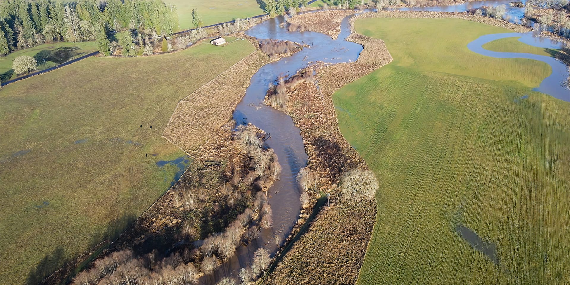
(Resilience and transition strategy) Stillman Creek Riparian Preserve conserved and planted with native trees, Mike Melton

To be prepared for changes like sea level rise, planners and land managers are using a concept called climate adaptation, which means taking actions to reduce vulnerability to climate change effects. The idea is that we can adapt or change certain features of our landscape to account for predicted sea level rise, flooding, and more.

Different approaches to climate adaptation fall into three categories: resistance, resilience, or transition.

A resistance strategy will maintain current conditions and protect the landscape from change by constructing defenses (like building sea walls or spraying trees to resist infestation).

A resilience strategy will accommodate some degree of change or disruption (like flooding) but will allow the landscape to return to “normal” after the disturbance. An example of a resilience strategy is maintaining buffers of plants and trees along a shoreline to absorb flooding and not building within those buffers.

A transition strategy intentionally changes the landscape in some way to make it better able to withstand future changing conditions. For example, transition climate adaptation strategies might include growing plants or trees more suited to future conditions or moving a trail to a less flood-prone area.

What’s Next for Olympia

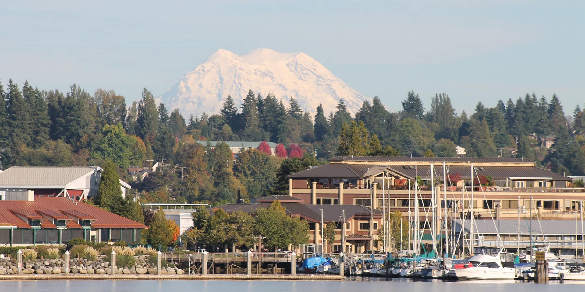
Mt. Rainier over Olympia waterfront, Jon D. Anderson

The City of Olympia has created a sea level rise plan to address how downtown will adapt to and prepare for climate and sea level changes that will increase flooding downtown. The City’s plan emphasizes that with just 12-inches of sea level rise, what we call a 100-year flood event could occur every other year. This would have serious consequences for life in the city.

The city has identified several climate adaptation strategies for the near, mid, and long term. Several of these strategies have already been put into action. Those elements of the plan are briefly summarized below:

Near Term (2019-2024, up to 6 inches of sea level rise) –

the city is installing backflow prevention on vulnerable stormwater outfalls.

Mid Term (2030-2050, up to 24 inches of sea level rise) –

flood-proof sensitive areas, like Budd Inlet Treatment Plant. The city plans to construct floodwalls, berms, and flood gates, and may raise shoreline parks and trails.

Long Term (2050-2075, up to 68 inches of sea level rise) –

flood-proof and protect vulnerable infrastructure. Raise Fourth Avenue, Columbia, Water Street, and other streets as needed. Increase flood storage and pumping capacity at various sites.

Planners and land managers are making hard decisions about how to plan for the future ahead.

Read about Olympia’s sea level rise plan to learn about sea level rise science, the city’s proposed actions, and how those actions will be funded. Do these adaptation strategies fall under the categories of resistance, resilience, or transition?

  • Facebook
  • Instragram
  • Youtube

  • PO Box 14065
  • Tumwater, WA 98511
  • Telephone: (360) 943-3012
  • Email:

  • Who We Are
  • Our Mission
  • Board & Staff
  • Collaboration
  • Financials
  • Library
  • Careers
  • Get Involved
  • Trail Steward
  • Stewardship Work Parties
  • Salmon Docent
  • K-12 Outdoor Programs
  • Ways To Give
  • Cash
  • Other Ways to Give
  • Become a Business Partner
  • Gifts of Land
  • Bequests, Estate Plans & Wills
  • Stocks, Donor Advised Funds, IRAs
  • Conserved Lands
  • Conservation Map
  • Conserving Key Habitats
  • Conservation Areas
  • Conserve Your Land
  • Visit A Preserve
  • Inspiring Kids Preserve
  • Managing Our Preserves
  • Donate
  • Contact
  • Events
  • News

Copyright © Capitol Land Trust All Rights Reserved. | Made by SlowClouds