
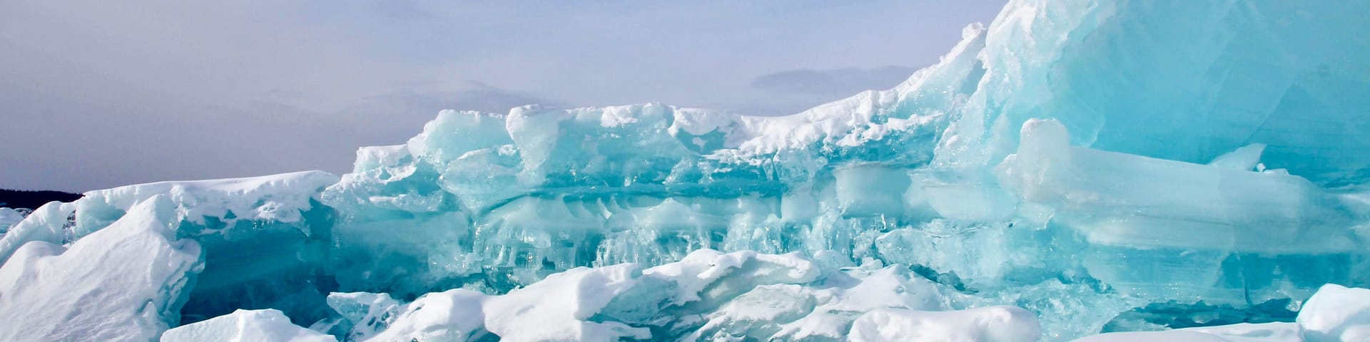
 Many of the geologic features found on our preserves formed more than 16,000 years ago during the last Ice Age.
Geology is the field of science that studies Earth’s history. It examines the planet’s physical features and geologic processes that have shaped the world we observe today, as well as how it has changed over time. The National Park Service offers an overview of geology fundamentals, including key principles, plate tectonics, erosion, and rocks and minerals. The U.S. Geological Survey and Washington Geological Survey are also fantastic resources for discovering more about geology, with the latter offering a poster of Glacial Landforms of the Puget Lowland that is particularly helpful for envisioning the influence of ancient ice upon the Puget Sound area.
Learning more about the geologic history of our region offers a deeper understanding of how the lands and waters we protect were formed and continue to be shaped to this day.
The South Puget Sound region is located at what was once the terminus of the Cordilleran Ice Sheet, part of the Fraser Glaciation during the last Ice Age between 16,000 and 19,000 years ago. During that time, ice stretched as far south as Tenino, Washington with a thickness in some places exceeding 4,000 feet.
The impressions left on the landscape as the ice receded can still be seen at many of our nature preserves, including the alluvial fan that makes up the peninsula we now call Bayshore Preserve and Lake Lucinda at Darlin Creek Preserve, which was likely created by an ancient block of ice that melted to form a kettle.
The preservation of such landforms on our preserves is an important reminder that when organizations like Capitol Land Trust protect land from being developed, they are not just conserving the habitat and ecosystems of today, but also preventing the erasure of these tangible reminders of our geologic past.
Darlin Creek Preserve: A Place to Experience Glacial Geology Up Close
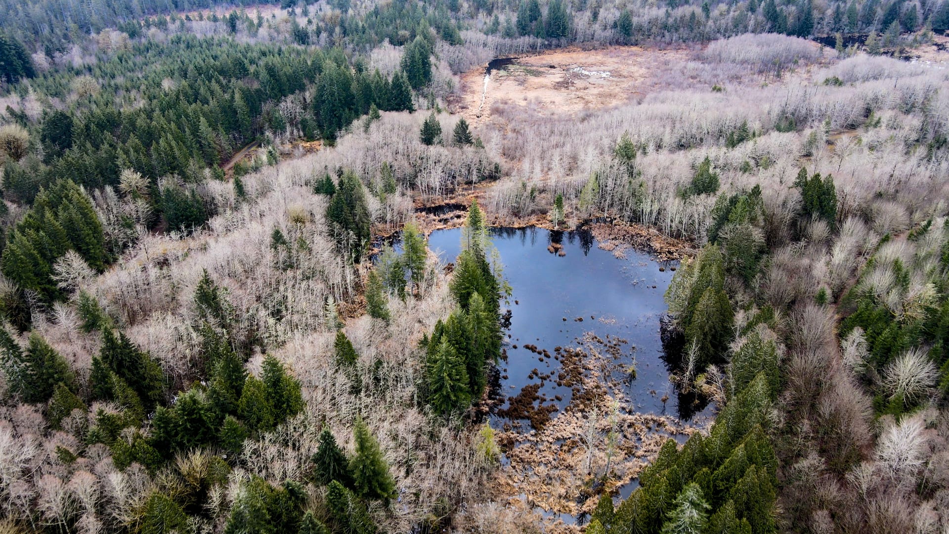
The 322-acre Darlin Creek Preserve near Olympia is a great place to learn more about the glacial history of our region. Two new interpretive signs have recently been installed that inform visitors about the kettles and eskers that formed here about 16,000 years ago, when the Puget Lobe of the Cordilleran Ice Sheet melted and retreated northward.
As the glacier retreated, newly formed wetlands and streams would have been among the first places plants and animals returned to the region. The water attracted beavers, whose dams further shape the landscape. Together, geologic processes and modern wildlife have created a rich mix of habitats, including open water, marsh, forest, and stream. These environments support amphibians, birds, insects, fish, and the plants adapted to wet soils and shifting water levels.
Today, the same glacial landforms that shaped the region continue to guide water, influence vegetation, and shape the lives of the animals that call Darlin Creek Preserve home. The ice is gone, but its imprint remains.
This video featuring geologist Wendy Gerstel provides a more in-depth look at the glacial history of Darlin Creek Preserve: